Projects
Public Transport Style
Plain street maps often do not meet all the needs of map users in urban areas. The location of public transport is a key criteria for the choice of location.
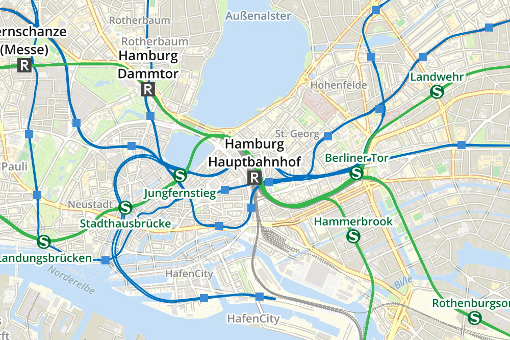
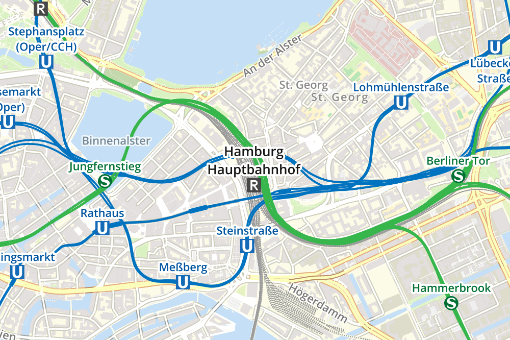
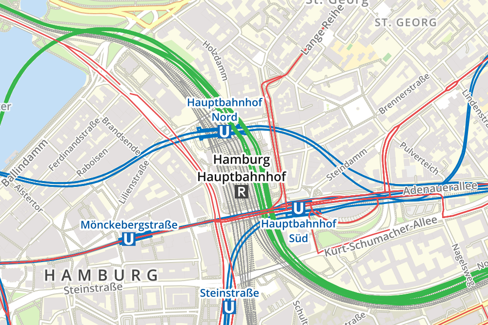
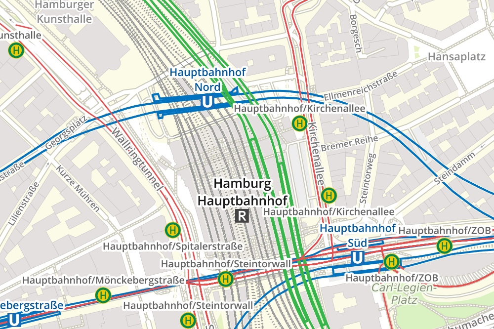
Geofabrik developed a public transport overlay for a customer in the real-estate sector. This transparent overlay can be layed over a base map and shows
public transport lines and stations.
Public transport lines and stations in OpenStreetMap are mapped in a complex manner. The following challenges had to be met:
-
Stations are sometimes stored as multiple objects in OpenStreetMap, but map users would like to see only one symbol for the whole station.
Therefore, we merged stations of the same name if they are located in spatial proximity to each other. We assumed that stations with
different names should be displayed a different stations.
-
It is often difficult or impossible to convert the tags of the stations in OpenStreetMap to the transport service categories used in a
city or region. The tags for a train station cannot differentiate between different types of trains, such as s-bahn or regular regional
trains. We solved this by using database table which are normally used for data updates, to determinte which route relations call at that
station to identify which category (or categories) the station belongs to.
-
Public transport services that are called different things in different regions can often be stored as the same thing in OpenStreetMap. A
"metro" in one city can be a "light rail" in another, and "tram" in another. Map users expect that their local symbols will be used. The
tags in OpenStreetMap do not contain this information because OpenStreetMap uses a single global scheme. However the first character of
the "route reference" can indicate the type of transport. "M" for Metro, "T" for trams, and so on. We use this to deduce the type of
transport system.
Hamburg Zoom 13

Freiburg Zoom 13

Hamburg Zoom 14

Freiburg Zoom 14

Hamburg Zoom 15

Freiburg Zoom 15

Hamburg Zoom 16

Freiburg Zoom 16

Back
